
Naperville Block Lookup Sources
A block search works best as a set of small official checks. The city and county maps define the geography. Assessor records identify parcel and tax-roll fields. Voter tools can confirm an individual registration when the requester supplies the required identity and address data. Public association pages explain community boundaries, meetings, and projects, but they do not provide a list of private members.
| Source | What it shows about a block | Access |
|---|---|---|
| Naperville Your Place | Address points, parcels, subdivisions, zoning, schools, police beats, parks, roads, and city boundary | Public City GIS and REST layers |
| DuPage Parcel Viewer | Nearby parcel shapes, address search results, PINs, and links to property records | Public viewer with Searches, Shapes, Buffer, and Results tools |
| Will GIS Data Viewer | Parcels, address points, roads, zoning, flood, precinct, school, and tax-district layers | Public map and spatial-analysis tools |
| County assessor rolls | Tax-roll owner, PIN, situs address, billing address, assessment, sale, and legal description fields | DuPage or Will property portal |
| Election lookups | Individual registration, district, polling, or ballot information after an identity match | State and county portals with restricted use |
| Community groups | Public history, boundary context, board names, meetings, and project information | Public organization pages, not private rosters |
These sources describe different roles. A parcel owner might live elsewhere. A billing address may belong to a trust or representative. A permit contact may be a contractor. A public voter match is not a complete household list. Treat each result according to its stated purpose.
Route Naperville Neighbors by County
The city describes 87th Street as the main clue for its county split, with DuPage to the north and Will to the south. Naperville also includes parts of six townships: Naperville, Lisle, Winfield, Milton, Wheatland, and DuPage. Washington Street appears in the City's township description as another divider. A nearby postal address alone does not settle which county or township holds the parcel record.
Search the city map first, then follow the PIN to the correct county system. For DuPage, use the parcel viewer and property search. For Will, use the GIS Data Viewer and Supervisor of Assessments portal. The two sides offer different controls and result layouts. That two-county routing step prevents a false gap when a plausible address simply belongs in the other system.
The official Will County property search is one of the manifest sources assigned to the block lookup.
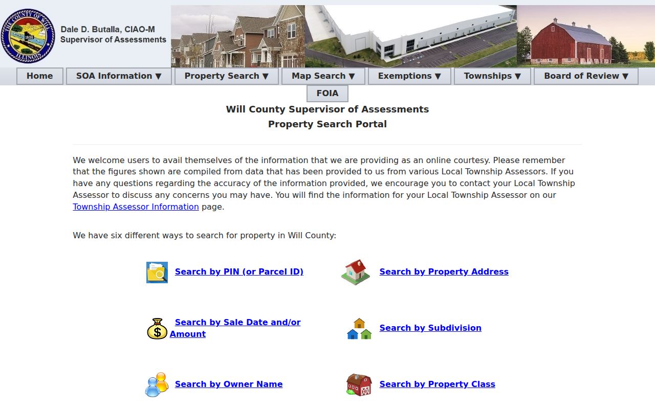
Its owner and address fields identify property-record roles. They do not certify everyone present at the address.
Note: A Naperville postal label can cross a service boundary, so confirm the parcel rather than assuming the county from the city line.
Map a Naperville Block
The adjacent-parcel method begins with one known, standardized address and moves only to lots that touch or sit immediately around it. This keeps the work tied to the block instead of turning it into a broad collection of names. A map boundary is useful for selection, but a recorded plat or survey controls a legal-boundary question.
- Locate the address in Naperville Your Place. Turn on address points, parcel lines, the city boundary, and the subdivision or district layers needed for the question.
- Click the subject parcel and every touching parcel. Save each PIN, situs address, subdivision or lot, zoning, and public district only when relevant.
- On the DuPage side, use Shapes or Buffer and the Results tab. On the Will side, use spatial selection in the county viewer.
- Open each PIN in the proper assessor system. Compare the property address with the owner and billing fields without assuming they describe an occupant.
- For ownership proof, follow a document number to the recorder. For a full named-street chain, use the Naperville street directory workflow.
The Will GIS Data Viewer shows the map layers available on the south side.
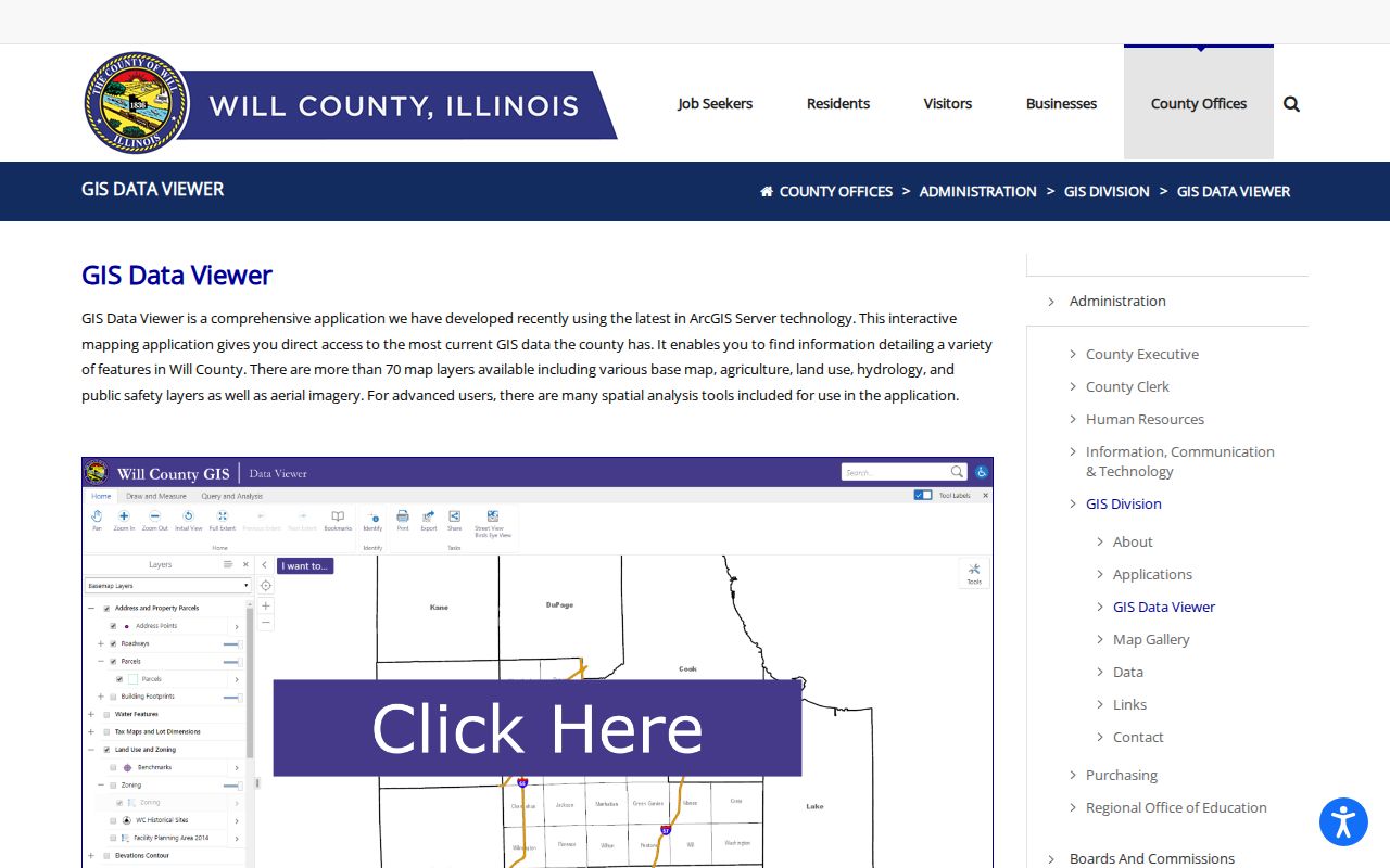
The district and parcel overlays help define the block. The assessor and recorder remain the sources for owner and instrument details.
Read Naperville Parcel Roles
A PIN is a parcel identification number. The situs address describes where the parcel sits. A billing or mailing address tells the county where to send a tax notice. These fields may match, but they often do not. A trust, company, estate, attorney, servicer, or out-of-area owner may appear in the tax roll.
- PIN
- The county's identifying number for a parcel.
- Situs address
- The physical property address used by maps and assessment records.
- Billing address
- The destination for tax correspondence, which may differ from the site.
- Plat
- A recorded map that lays out lots, blocks, streets, and easements.
Assessment, exemption, transfer, and sale fields are dated property facts. A homestead-related field can be consistent with owner occupancy, but it is not a household roster. Condominiums and parcel splits also demand care because one street point may connect to several legal units or PINs.
The Will Property Fraud Alert page is another assigned image source. The free Will Recorder alert sends a notice when a matching land instrument is recorded.
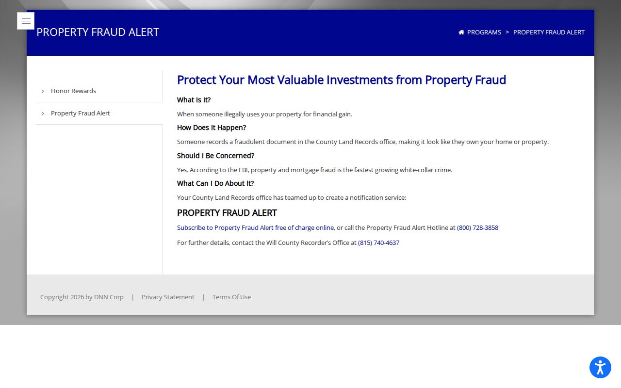
An alert does not stop a recording or prove fraud. It is a prompt to verify the instrument with the recorder.
Naperville Neighbors and Voter Data
Neither inspected county portal offers a public browse of all voters on a street. DuPage requires a last name, date of birth, identity selector, house number, street, and city fields. Will's lookup uses first and last name, date of birth, house number, and street. Those forms confirm one record when suitable information is already held; they are not tools for scraping an entire block.
Illinois Election Code provisions in 10 ILCS 5 limit public fields and use. Sensitive identifiers are withheld or redacted, and protected voter information does not appear through an ordinary search. A result may show registration or election geography, but it does not reveal ballot choices or guarantee that the person is physically present today.
If a lookup fails, check spelling, county, address format, status, and whether the person may have moved or uses the Address Confidentiality Program. Contact the election authority for its current procedure. Do not work around a protected record by mining a different source.
Naperville Community Directory Layer
Neighborhood names are not always legal boundaries. City GIS, subdivision plats, and planning records are better geographic evidence than an informal label. Public association pages can still explain community history, meetings, public projects, board roles, and ways to contact an organization. They should never be treated as an invitation to seek a private member list.
Naperville Neighbors United
A nonpartisan nonprofit founded in 2018 and recognized as a 501(c)(3) in 2020. Its public page presents its mission, board, and community work.
Prairie Crossing HOA
The community-run site publishes public contact, news, and meeting information. It is not a public household directory.
Wil-O-Way HOA
The volunteer association publishes an association history and a bylaws page dating to 1986, useful for subdivision context.
City Boards
Public rosters, appointments, agendas, and minutes can tie a name to a dated civic role without disclosing a private roster.
The captured organization page illustrates the public civic layer available for a local block.
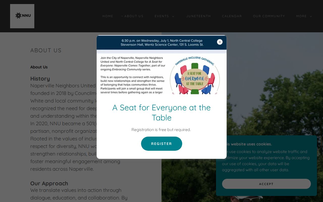
Use it for mission, public leaders, and events. Private household membership remains outside the public block record.
Districts Around Naperville Neighbors
Your Place and county GIS layers can show a police beat, polling area, school district, park, township, legislative district, subdivision, zoning class, flood feature, and taxing district around an address. These overlays can explain why adjacent homes receive different public services or appear in different election and county systems.
The Naperville Park District's community-partner list points to public organizations such as Naper Settlement, Naperville Public Library, Naperville Cemetery Association, civic clubs, and school or park bodies. Public meeting notices and organization pages can add context to a block. Congregation, civic-club, and block-watch membership lists are usually private or controlled by the group.
Historic district and cemetery layers serve a different purpose. The local historic district contains about 320 properties, while cemetery records identify burial places. Neither is a source of current residents. They can, however, explain a historic block, an older lot line, or the names connected to past community records.
The City cemetery interment layer is included among the assigned neighbor images.
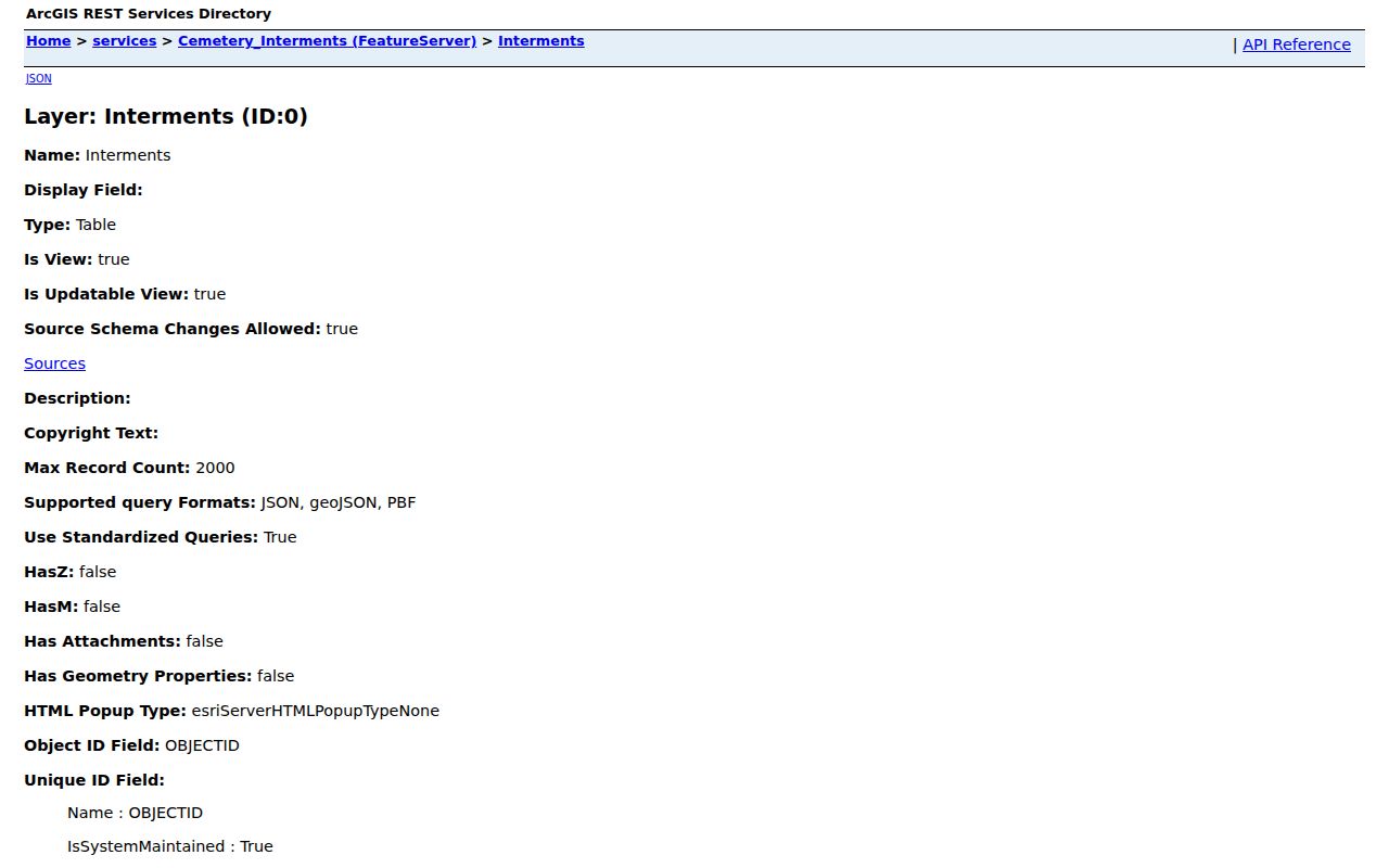
Its name, cemetery, section, row, lot, and interment-date fields support local history, not a current contact search.
Official Naperville Block Records
Commercial neighbor-search products often combine property, public-web, and other compiled data. That can create stale addresses, merged names, and false household links. Official records are narrower, but the custodian states what each field means and provides a correction or copy route.
| Choice | Strength | Limit |
|---|---|---|
| City or county GIS | Defines parcel, address, and district geography | Does not certify every occupant |
| Assessor and recorder | Shows tax-roll and recorded property roles | Owner, mailing recipient, and resident may differ |
| Election portal | Confirms an individual match under election rules | No public whole-block browse; protected data withheld |
| Commercial compilation | May combine many sources quickly | Source age, same-name merges, and role errors can be unclear |
For a neighbor lookup, official geography first is the sounder method. Save only the facts needed for a civic, safety, or personal purpose. Ask the office to correct an error rather than repeating it elsewhere.
Privacy for Naperville Neighbors
Property rolls do not disclose all renters or household members. Public voter forms withhold sensitive identifiers and may omit protected addresses. Utility customers, private delivery records, and motor-vehicle address data are not public block fields. Illinois FOIA cannot override a statute, court seal, or privacy exemption.
The Illinois Address Confidentiality Program provides a substitute address for eligible survivors and supports protected voter registration. The Attorney General warns that it cannot erase earlier public records or guarantee that property records will remain confidential. A missing or substitute address may therefore be an intentional safety measure, not a data defect.
Lawful use. Looking up nearby residents can support civic questions, community connection, and personal safety. Never use public records to watch, intimidate, harass, or harm a person.
A careful block search stops at the public record's limit. Map parcels, confirm official roles, and leave private rosters and protected households alone. That approach gives useful neighborhood context without pretending that a map is a list of everyone who lives nearby.